Remote Sensing | March 2, 2023
Researchers from Chonnam National University and Korea Aerospace Research Institute conducted a study focused on developing a practical and advanced calibration system for remote sensing (RS) using remote-controlled aerial vehicles (RAVs). RAVs are valuable tools for monitoring crops, environmental conditions, and agricultural productivity. However, the current calibration methods for RAV-acquired images are cumbersome and require calibration tarpaulins (tarps). The goal of this study was to create a standalone calibration system for RAV-based RS that eliminates the need for tarps.
To achieve this, the researchers used a quadcopter equipped with a multispectral camera and conducted calibration studies using pseudo-invariant tarps under varying light intensities. They formulated a standardization system for RAV RS based on the spectral images acquired by the quadcopter.
The calibrated images were validated using reflectance measurements in crop fields, and the outcomes of the calibration system were evaluated. The study concluded that the standalone RAV RS system, without relying on tarps, shows promise for effectively processing RAV RS-acquired images.
This research presents an important advancement in the calibration of RAV-based RS systems, enhancing their practicality and enabling more accurate and efficient monitoring of agricultural areas.
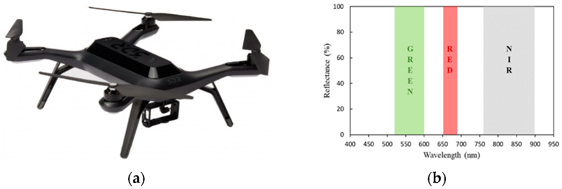
Photograph of (a) the 3DR Solo quadcopter drone and (b) spectral ranges of the three multispectral sensors in the agricultural digital camera used in the study.


